NEW ORLEANS (AP) — Gulf Coast residents scrambled to finalize storm preparations as Hurricane Nate raced swiftly over the central Gulf of Mexico on Saturday, gaining added strength as forecasters said it would smash into the U.S. coast during the night.
Louisiana’s governor urged his state’s residents to take Nate seriously, saying the storm “has the potential to do a lot of damage.”
“No one should take this storm lightly. It has already claimed the lives of at least 20 people,” Gov. John Bel Edwards said Friday. “We do want people to be very, very cautious and to not take this storm for granted.”
The National Hurricane Center in Miami said the core of the Category 1 hurricane was located at 7 a.m. CDT Saturday about 245 miles (395 kilometers) south-southeast of the mouth of the Mississippi River. Top sustained winds were clocked at 85 mph (135 kph).
A hurricane warning is in effect from Grand Isle, Louisiana, to the Alabama-Florida border and also included metropolitan New Orleans nearby Lake Pontchartrain. A tropical storm warning extended west of Grand Isle to Morgan City, Louisiana, and around Lake Maurepas and east of the Alabama-Florida border to the Okaloosa-Walton County line in the Florida Panhandle.
States of emergency were declared in Louisiana, Mississippi and Alabama as Nate — which has already killed at least 21 people in Central America — became the latest in a succession of destructive storms this hurricane season.
The White House released a statement already saying Louisiana’s emergency declaration covering had been approved, adding President Donald Trump authorized the Federal Emergency Management Agency and the Department of Homeland Security to coordinate all federal disaster relief efforts. Such statements are intended to speed aid, save lives and protect property and public safety.
Edwards said forecasts for the fast-moving storm indicate the greatest risks are winds and storm surge, rather than intense amounts of rain. Hurricane and storm surge warnings are in effect for southeast Louisiana and the Mississippi and Alabama coasts.
In New Orleans, the city’s pumping system remains fragile but is working. Two flash floods this summer led to revelations about personnel and equipment problems at the agency that runs the system that drains the city.
New Orleans Mayor Mitch Landrieu said 109 of its 120 pumps are functioning, which is 92 percent capacity.
“We are ready for whatever Nate brings our way,” Landrieu said.
Nate is forecast to dump 3 to 6 inches (7 to 15 centimeters) of rain on the region — with isolated totals of up to 10 inches (25 centimeters).
Millard A. Green, a bassist, music teacher and actor, looked philosophically at grocery shelves in New Orleans that had held cases of bottled water. It was 12:30 p.m. Friday, and they were empty.
“I thought we were finished with all this hurricane stuff? What you gonna do?” he said.
Edwards encouraged people across southeast Louisiana to hunker down for the storm by 8 p.m. Saturday. Landrieu enacted a 7 p.m. Saturday curfew for city residents. The governor says tropical storm force winds should reach coastal areas of Louisiana by Saturday afternoon, and coastal areas could see storm surge of as much as 7 feet (2 meters).
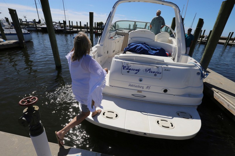
On Alabama’s Dauphin Island — a barrier island south of Mobile, Alabama — owners hauled boats out of the water ahead of the storm’s approach. The major concern was the storm surge was projected to coincide with high tide.
“The west end of the island floods in a good thunderstorm,” said Chad Palmer, the owner of FinAtics Inshore Fishing Charters, which operates five charter boats on the barrier island.
Palmer said the storm, so far, did not seem to be causing much concern on the island that has been battered by monster storms such as Hurricane Ivan and Hurricane Katrina, but he was more cautious.
“Right now people are talking about hurricane parties. … This is my personal non-founded opinion, but this thing has got a whole lot of Gulf to cover before we say it’s going to be a little storm,” Palmer said.
Mississippi Gov. Phil Bryant declared a state of emergency in six southernmost counties. State officials, at a briefing Friday in Gulfport, warned that Nate’s main danger in that state will be from up to 10 feet (3 meters) of storm surge in low-lying coastal areas, as well as from winds that could damage mobile homes.
“If you are in an area that has flooded, I would recommend you evacuate that area until the storm has ended and the water has receded for your own personal safety and for the safety of the first responders that will be responding in the event you are trapped,” Bryant said.
___
Associated Press writer Kim Chandler contributed to this report from Alabama.


I hope there’s not too much damage. I’ve heard Puerto Rico has thrown our budget a little out of whack.
The Gulf is being attacked by climate change and is under siege by hurricane.
You have to wonder if they get it when they are evacuating the oil rigs and production keeps getting ‘interrupted’.
And this is basically just the beginning.
Methinks these same deniers will be begging for government sponsored solar energy and electric vehicles in just a few more seasons.
I just hope Hair Furor didn’t tear his rotator cuff lobbing paper towels in Puerto Rico.
His arm is going to be needed again for Nate, unless Mikey Pence is gonna be the reliever…
Good to see you here at TPM, Melinda. We’re hunkering down in Thibodaux. I hope we come through Nate okay in Louisiana and the rest of the Gulf Coast…