The tensions in Ukraine between east and west far pre-date the tension between Europe and Russia. Here are 23 maps that help explain the conflict, from 1400 to 2000.
READ: History Explains How Tension In Ukraine Goes Back Centuries
1400:

1450:

1500:

1550:

1600:

1620:

1640:

1649:

1655:

1660:

The truce of Andrusovo 1667, which really set the borders till the second half of the 18th century (Wikimedia):

1670:

1680:

1700:

1750:

1775:

1800:

1850:

1900:

1920:

1950:

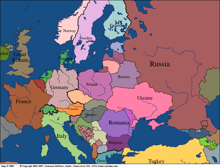
2000:


I can only see one map. Is there a way to access the others? I’m specifically interested in the 1800s. Thank you.